


George McBroom
Drone Solutions for Construction Progress, 3D Modeling, Inspections & Agriculture
George McBroom specializes in professional drone services, offering expertise in construction progress mapping, 3D modeling, site volumetrics, aerial inspections, and agricultural field mapping to elevate your project.
Professional Drone Services Overview
This section highlights the variety of services I provide, emphasizing quality and customer satisfaction.
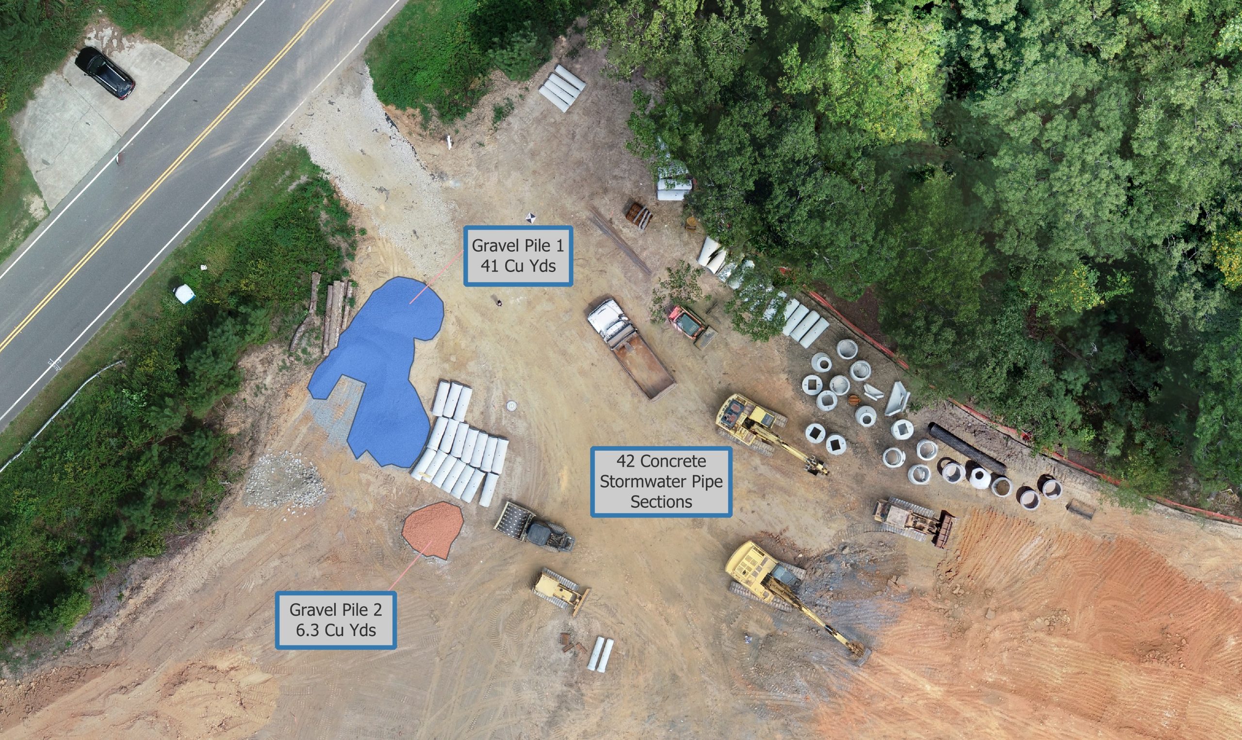
Site Progress Monitoring & Volumetrics
Track construction milestones, document site conditions, and share high-resolution aerial updates with stakeholders. Calculate stockpile volumes, cut-and-fill, and earthwork progress using advanced mapping software.
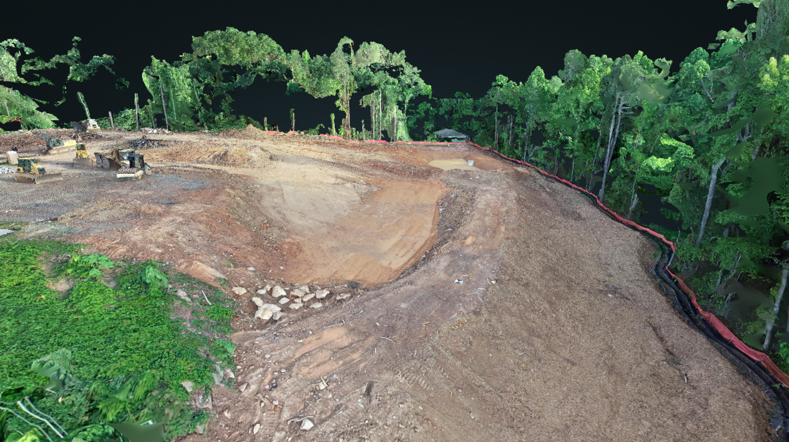
3D Modeling & Raster Generation
Generate highly detailed 3D meshes, point clouds, and orthomosaic raster maps to enable precise spatial analysis and digital twin creation.
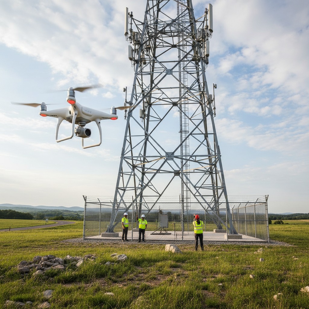
Aerial Inspections
Conduct safe, efficient, and highly detailed visual inspections of elevated structures, roofs, and hard-to-reach utility infrastructure.
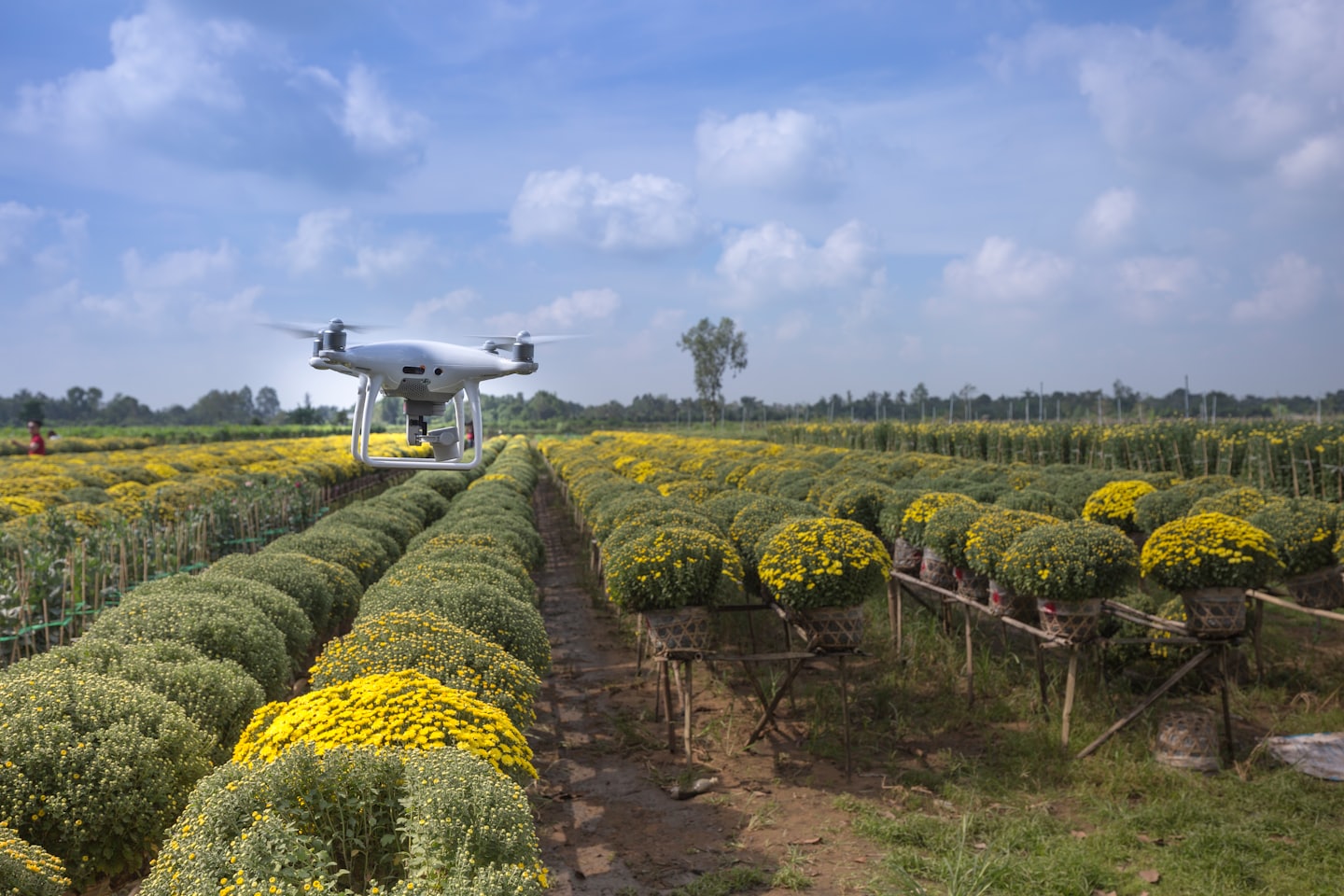
Agricultural Field Mapping and Assessment
Monitor crop health, optimize irrigation systems, and assess field conditions using advanced multispectral imaging and aerial mapping.
Service Area
We service metro Atlanta and North Georgia, including Cartersville, Acworth, Kennesaw, Marietta, and Canton. We will generally service up to 75 miles from Cartersville, GA. This may include areas of east Alabama and south Tennessee, such as Chattanooga.