
Aerial Intelligence. Actionable Insights.
Real-world applications of our aerial intelligence—delivering clear site visibility, streamlined workflows, and measurable results on the ground.
Site Progress Monitoring & Volumetrics
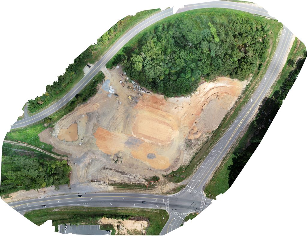
Keep your projects moving forward with absolute site visibility. I transform raw aerial imagery into high-precision digital assets, including detailed orthomosaic maps and accurate stockpile volume reports. The data allows project managers to track weekly site progress, perform rapid cut/fill analysis, and manage inventory safely from the ground. From groundbreaking to final inspection, I provide the localized, data-driven intelligence you need to eliminate guesswork and keep your job sites on schedule.
3D Modeling & Raster Generation
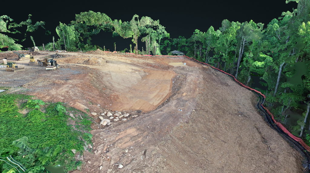
Visualize potential and verify terrain long before groundbreaking. I provide land developers and contractors with high-accuracy aerial mapping and elevation data to streamline the due diligence and planning phases. My high-resolution orthomosaics and detailed terrain models give you a comprehensive view of acreage, helping you assess slopes, identify drainage patterns, and plan site layouts with confidence. These clear, data-rich visuals are perfect for zoning presentations, investor pitches, and collaborating with your engineering teams. I deliver the foundational site intelligence you need to mitigate risk, maximize land utility, and fast-track your development pipeline.
Aerial Inspections
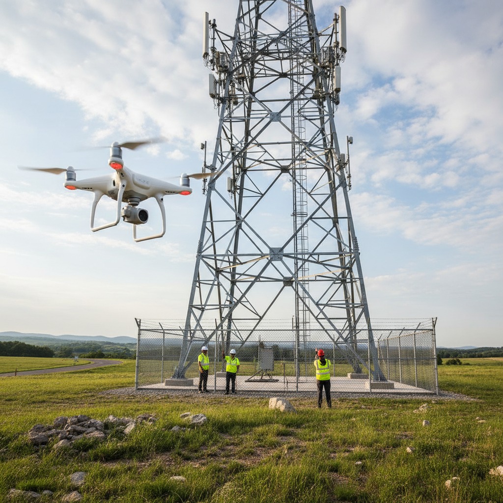
Inspect critical assets safely without leaving the ground. I provide commercial property managers, contractors, and facility operators with high-resolution aerial visual inspections for roofs, cellular towers, and hard-to-reach structures. The detailed imagery captures fine structural details, material wear, and site anomalies without the cost or liability of ladders and scaffolding. You receive sharp, organized visual data to streamline maintenance, document site conditions, and make informed repair decisions with absolute confidence. I deliver the elevated perspective you need to protect your assets while keeping your team safely on the ground.
Agricultural Field Mapping and Assessment
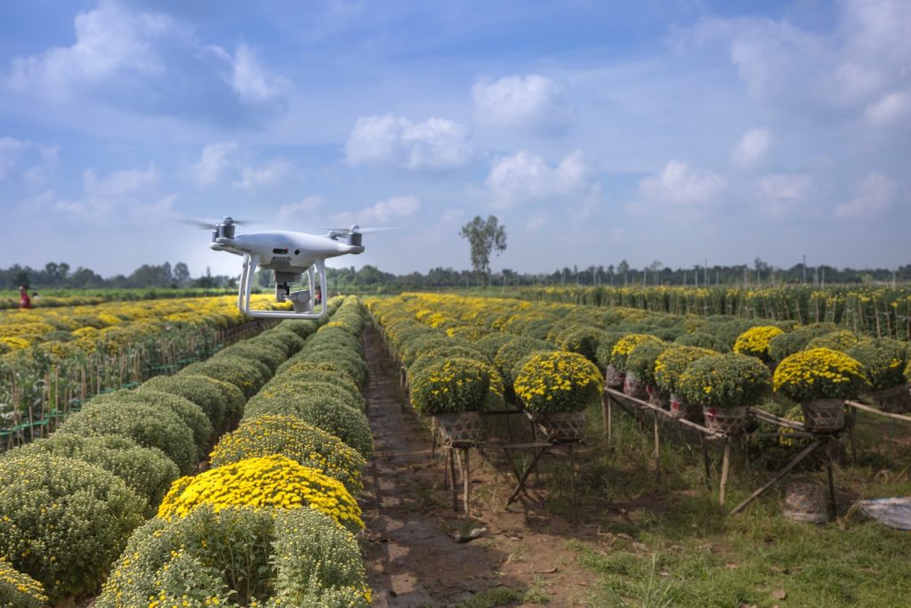
See your fields like never before and protect your yield. I deliver high-resolution aerial scouting and VARI health mapping to streamline your field management. My drone workflows allow you to rapidly scan large acreage, pinpointing crop stress, drainage issues, and pest hotspots days before they are visible from the ground. This precise spatial data helps you target inputs, reduce chemical waste, and track crop health throughout the growing season. I give you the localized aerial intelligence needed to make fast, cost-saving decisions for your farm.
Project Workflow
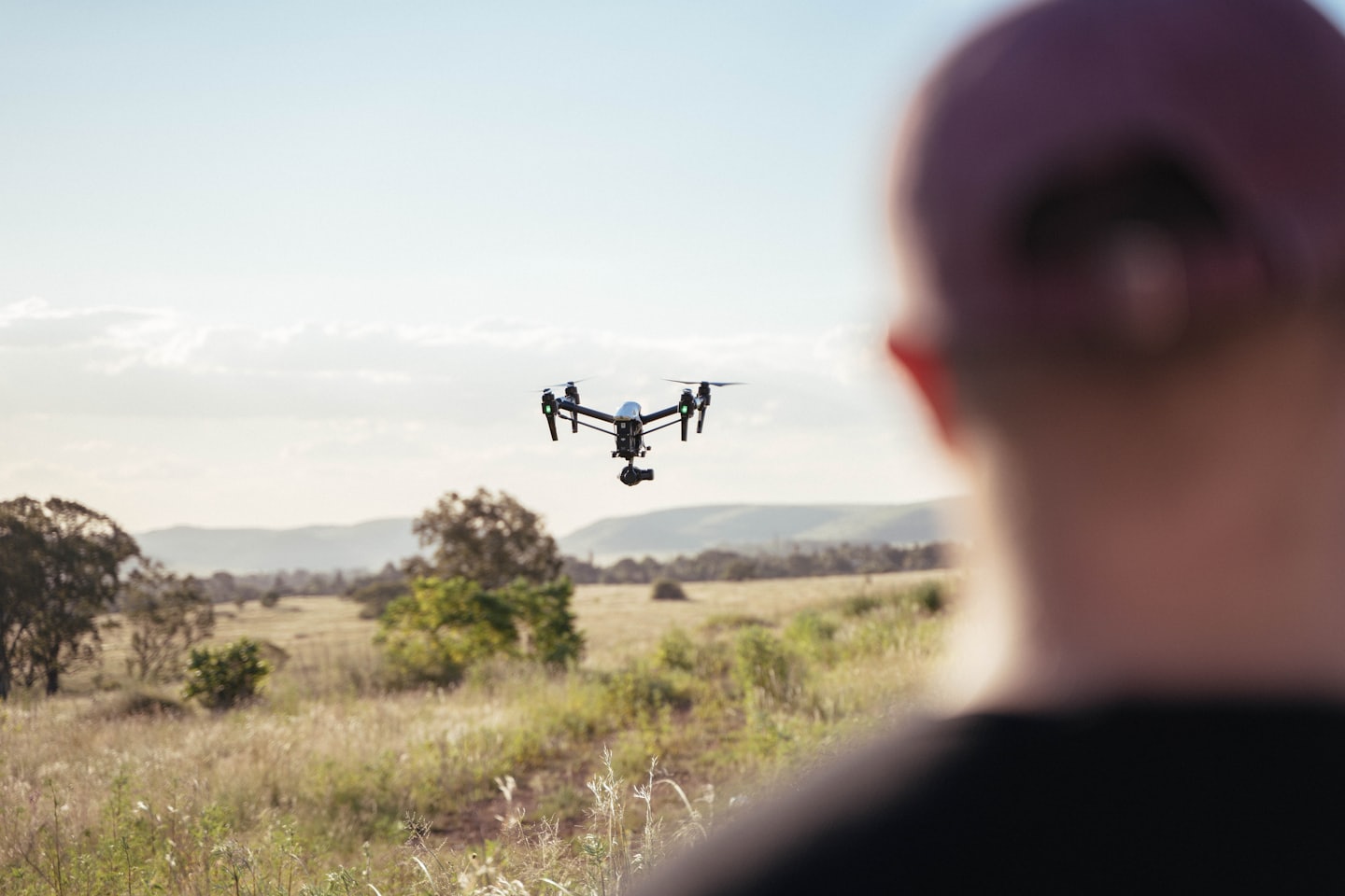
This section outlines my professional drone operations, helping clients understand the seamless process from initial consultation to final aerial data delivery.

Step One: Site Consultation
Your project requirements are assessed for precise aerial mapping and inspections.

Step Two: Flight Execution
My drone captures high-resolution imagery and accurate volumetric data.

Data Delivery
You receive detailed maps and deliverables related to your project.
Contact me about your project.
Contact me to to discuss your aerial mapping and inspection needs.