
George McBroom
Owner / Lead Drone Pilot
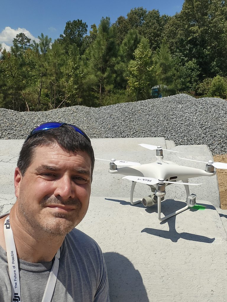
I am a U.S. Coast Guard veteran and active reservist with nearly 23 years of service, bringing a deep background in technical compliance, environmental inspection, and federal land management to commercial drone operations. My career across the Coast Guard, the State of Georgia, and the U.S. Army Corps of Engineers has instilled a strict, process-driven approach to field safety and operational consistency. Based in North Georgia, I operate as an FAA Part 107 certified commercial remote pilot utilizing a DJI Phantom 4 Pro. I specialize in delivering detailed orthomosaic mapping, 3D elevation modeling, and reliable site intelligence for local construction and development projects. Using spatial software like QGIS and WebODM integrated with Ground Control Points and RTK workflows, I ensure every project yields practical, accurate aerial data. Beyond technical photogrammetry, I offer site progress tracking, hazardous location inspections, and cinematic aerial media tailored to client needs. My combined experience as a military inspector and former park ranger allows me to communicate technical concepts clearly to site superintendents and project stakeholders alike.
Precision Aerials, Proven Expertise
This section highlights our professional pilot certifications, advanced flight safety measures, and industry standards.

FAA Certified and Insured Pilot
Licensed and insured commercial drone operator ensuring fully compliant and legally authorized aerial missions.

Advanced Safety Protocols
Strict adherence to safety guidelines and airspace regulations for every construction and mapping project.

Industry Standard Equipment
Utilizing proven drone technology and software suites to deliver accurate aerial maps, 3D terrain models, site volumetrics, inspections, and agricultural field assessments.